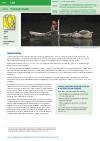
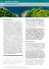
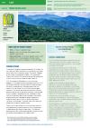
DEFINITION - E. coli levels in water samples…
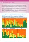
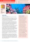
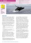
This dataset hosts 31 individual environmental indicator assessments that are in the **State of Environment and Conservation in the Pacific Islands : 2020 Regional report.**
Regional indicators are used to understand the current status of conservation in the region and to establish a process for periodic reviews of the status of biodiversity and implementation of environmental management measures in the Pacific islands region.
Each Pacific regional indicator is assessed with regard to:
* its present status, outlining the current health of key habitat types and resources across the region as well as data availability for the present and future assessments;
* pressures relating to the dominant factors and drivers of socio-environmental change affecting biodiversity, with an emphasis on recent changes, and opportunities relating to management, knowledge generation, or socio-ecological benefits of progress towards the target outcome; and
* response recommendations, describing action to improve the health and sustainability of Pacific biodiversity and ecosystems.
Data and Resource
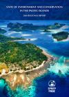
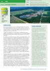
In this report, a set of recommendations is…
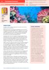
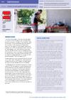
DEFINITION - % of national budget allocated to…
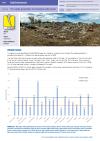
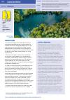
DEFINITION : Annual per capita generation of…
| Field | Value |
|---|---|
| Publisher | Secretariat of the Pacific Regional Environment Programme |
| Modified | |
| Release Date | |
| Source URL | https://pacific-data.sprep.org/dataset/regional-environmental-indicator-assessm… |
| Identifier | 92f931f8-c420-491e-8869-c9e688d27507 |
| Spatial / Geographical Coverage Location | Pacific Region |
| Relevant Countries | Pacific Region |
| Language | English |
| License |
Public
![[Open Data]](https://assets.okfn.org/images/ok_buttons/od_80x15_blue.png)
|
| Contact Name | SPREP |
| Contact Email | [email protected] |
| POD Theme | Atmosphere and Climate, Land, Biodiversity, Built Environment, Coastal and Marine, Culture and Heritage, Inland Waters |

