SPREP, Department of Environment, Tonga, Secretariat of the Pacific Regional Environment Programme (SPREP)
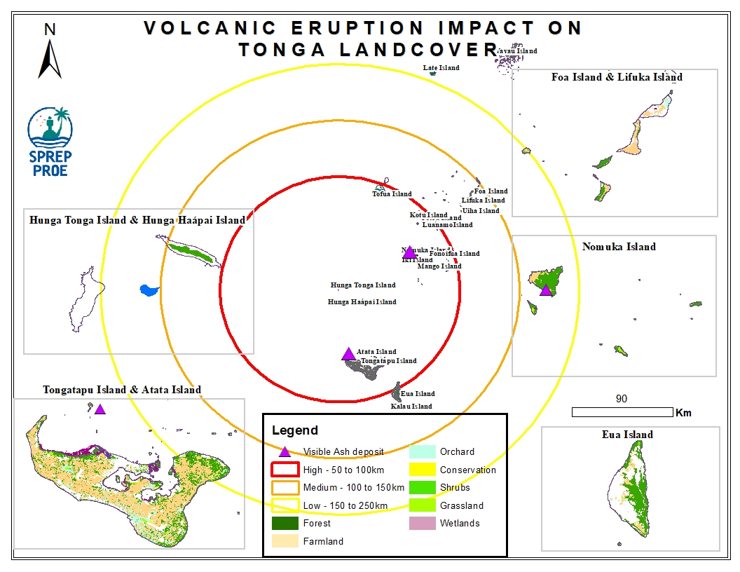
This dataset contains all spatial data that is related to the Tonga volcanic eruption. Maps produced are derived from credible data source such as UNOSTAT and UNITAR.
