vegetation types within the mainland coastal region provinces
vegetation types for the provinces in the PNG highlands region
Each value represents the number of dumping events observed on fishing vessels during the period 2003-2015
Marine pollution in the Pacific. Regional data
Photos from the meeting....
Resources for the SPREP Inform workshop in Samoa
Redlist species of Samoa as of 09/04/2019
The InterRidge Vents Database is a global database of submarine hydrothermal vent fields. The InterRidge Vents Database is supported by the InterRidge program for international cooperation in ridge-crest studies (www.interridge.org).
The World Database on Protected Areas (WDPA) is the most comprehensive global database of marine and terrestrial protected areas, updated on a monthly basis, and is one of the key global biodiversity data sets being widely used by scientists, businesses, governments, International secretariats and others to inform planning, policy decisions and management. The WDPA is a joint project between UN Environment and the International Union for Conservation of Nature (IUCN).
This paper highlights the seriousness of the “biodiversity crisis” on atolls and the need to place greater research and conservation emphasis on atolls and other small island ecosystems. It is based on studies over the past twenty years conducted in the atolls of Tuvalu, Tokelau, Kiribati, the Marshall Islands and the Tuamotu Archipelago of French Polynesia. It stresses that atolls offer some of the greatest opportunities for integrated studies of simplified small-island ecosystems.
Marine pollution originating from purse seine and longline fishing vessel operations in the Western and Central Pacific Ocean, 2003-2015.
The data was collected by the Secretariat of the Pacific Community's Observer Programme
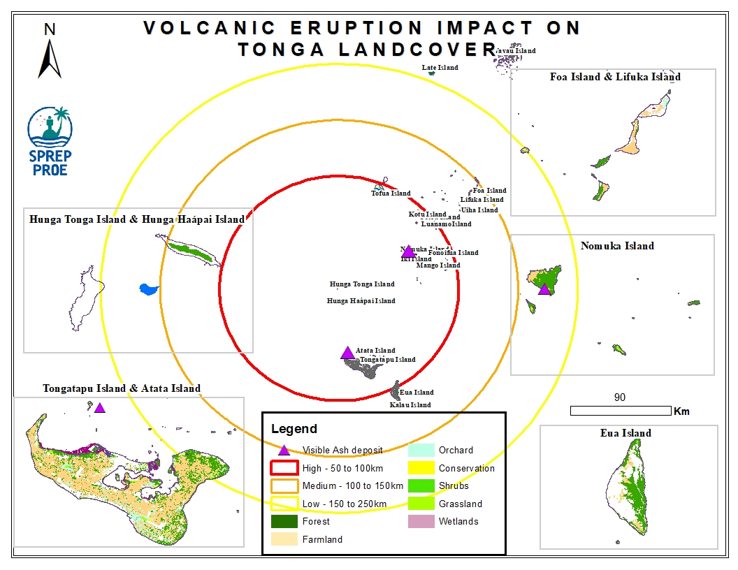
This dataset contains all spatial data that is related to the Tonga volcanic eruption. Maps produced are derived from credible data source such as UNOSTAT and UNITAR.
